Friday, July 7, 2017

Hurricane season active.. July 7th...July 11.. July 16


Friday 1100   Latest NHC advisory on TD #4: "The depression is forecast to become a remnant low or degenerate into a open wave tonight.


Td no 4 still holding its own fighting dry air.. here is the latest from the national hurricane center
BULLETIN
Tropical Depression Four Advisory Number 6
NWS National Hurricane Center Miami FL AL042017
500 AM AST Fri Jul 07 2017

...DEPRESSION MOVING QUICKLY ACROSS THE CENTRAL TROPICAL ATLANTIC...
SUMMARY OF 500 AM AST...0900 UTC...INFORMATION
----------------------------------------------
LOCATION...15.0N 48.8W
ABOUT 835 MI...1340 KM E OF THE LESSER ANTILLES
MAXIMUM SUSTAINED WINDS...30 MPH...45 KM/H
PRESENT MOVEMENT...WNW OR 285 DEGREES AT 22 MPH...35 KM/H
MINIMUM CENTRAL PRESSURE...1011 MB...29.86 INCHES
WATCHES AND WARNINGS
--------------------
There are no coastal watches or warnings in effect.
DISCUSSION AND 48-HOUR OUTLOOK
------------------------------
At 500 AM AST (0900 UTC), the center of Tropical Depression Four
was located near latitude 15.0 North, longitude 48.8 West. The
depression is moving toward the west-northwest near 22 mph (35 km/h)
and this general motion is expected to continue through Saturday.
Maximum sustained winds are near 30 mph (45 km/h) with higher gusts.
Little change in strength is forecast today, with weakening expected
to begin by late tonight. The depression is forecast to degenerate
into a remnant low or tropical wave by Saturday.
The estimated minimum central pressure is 1011 mb (29.86 inches).
HAZARDS AFFECTING LAND
----------------------
None.
NEXT ADVISORY
-------------
Next complete advisory at 1100 AM AST.


Saturday July 7
Sunday July 8

 The July 11st one could get closer but, maybe does not matter
 
 
Tuesday
Wednesday 
Thursday
Friday

Saturday

Sunday 16th  already gone...


Anna and Garry, prepairing with Richard to bring this boat to IJmuiden, the Netherlands..

Time to say goodbye, Sophie is getting to big,
and is kept short by the blades of the wind generator...

http://teamhan.blogspot.com/2012/10/sophie-bigger-pot.html
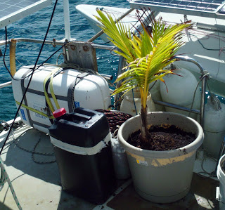
 Nov 2011, 15usd.. I tried 2ce to to get Palm tree growing from Coconut, but every time the green coming up was about 10cm high it perished.. 
I gave up when I could buy Sophie on Bonaire for 15us from Venezualan 'green' market at Kralendijk, near Wattaburger place..

Saturday, July 1, 2017

Weather prediction for Next Sat 8/7


6 Jul 1100

11am NHC update. Still expected to be not 'Don'. 
Dry air and shear said to be too much.
.....
Tropical depression number 4 latest update
Right now its starting to feel effects of dry air ahead of it as you can see the orange shades around the system indicates dry air and these systems need moist air in order to survive..please see update from nhc below.


5 jul 1000
 Invest 94 starting to get some convection these past several hours. Still has obstacles ahead that models keep showing down the road. NHC locked in at 70% chance it will be a TD/TS soon. 
Circulation is there.. just needs more thunderstorms and we may have a go. If it survives models showing high pressure bending it more west closer to the states... 
BUT that is if it even has anything left. 
Timing would be just east of the Bahamas this time next week. www.spaghettimodels.com / Mikes Weather Page APP


Afternoon jul 4
pressure seems of..  its turning even more north ..  predictions..

Morning jul 4
Invest 94 continues to slowly makes its way westward. NHC up to 80% this AM and we could be looking at future Don soon. Models have been consistent on a WNW movement. Still needs to break free from the monsoon trough. High pressure strength will be a big factor on when/if a turn before the US and any islands before. Some weakening nearing the Bahamas has been showing up with a chance to come back after (mainly EURO). No talk on conditions that far ahead from the NHC just that things in the immediate future could enable intensification. Lots to watch. Pictured here are the latest model runs of the EURO/GFS/GFS-P/CMC in 9-days. www.spaghettimodels.com / Mikes Weather Page APP


 https://www.windy.com/?2017-07-08-21,15.433,-54.624,6,a:CziIF
right bottom u can choose GFS 'model' (more north) or ECMWF (more west/+way less) 

Monday 0900..
Invest 94 out in the Atlantic. Several days away before nearing the Lesser Antilles (current runs pass more to the north of them). Lots to watch. www.spaghettimodels.com


Prediction 3 jul.. hmm some options closer to SXM then yesterday..


Prediction 2 jul...  good, every option well clear of sxm..


http://www.ssd.noaa.gov/goes/east/tatl/wv-animated.gif
 http://www.ssd.noaa.gov/goes/east/tatl/rb-animated.gif
 http://www.ssd.noaa.gov/PS/TROP/floaters/94L/94L_floater.html


3 jul  Will Azores High push it down??


2 jul


The prediction (only GFS) now, Sat Jul 1/7,
is that this will pass SXM  next Saturday 8/7
 ca 200nm East,
 moving sort of NW...

If so.. should be no problem,,,,  Just a day with no wind turning anti clockwise around, gray and rain..
Sat 8 Jul 1200
SXM to Grenada (380nm or 700km) is normally 2-3 days with 15knts East wind..

update.. on Monday morning prediction for Sat 7 jul..  system more east..  looks beter..

Sun 9 Jul 0800


update..  on Monday morning prediction for Sun 8 jul..  system more north.. also looks better..


Sunday, June 25, 2017

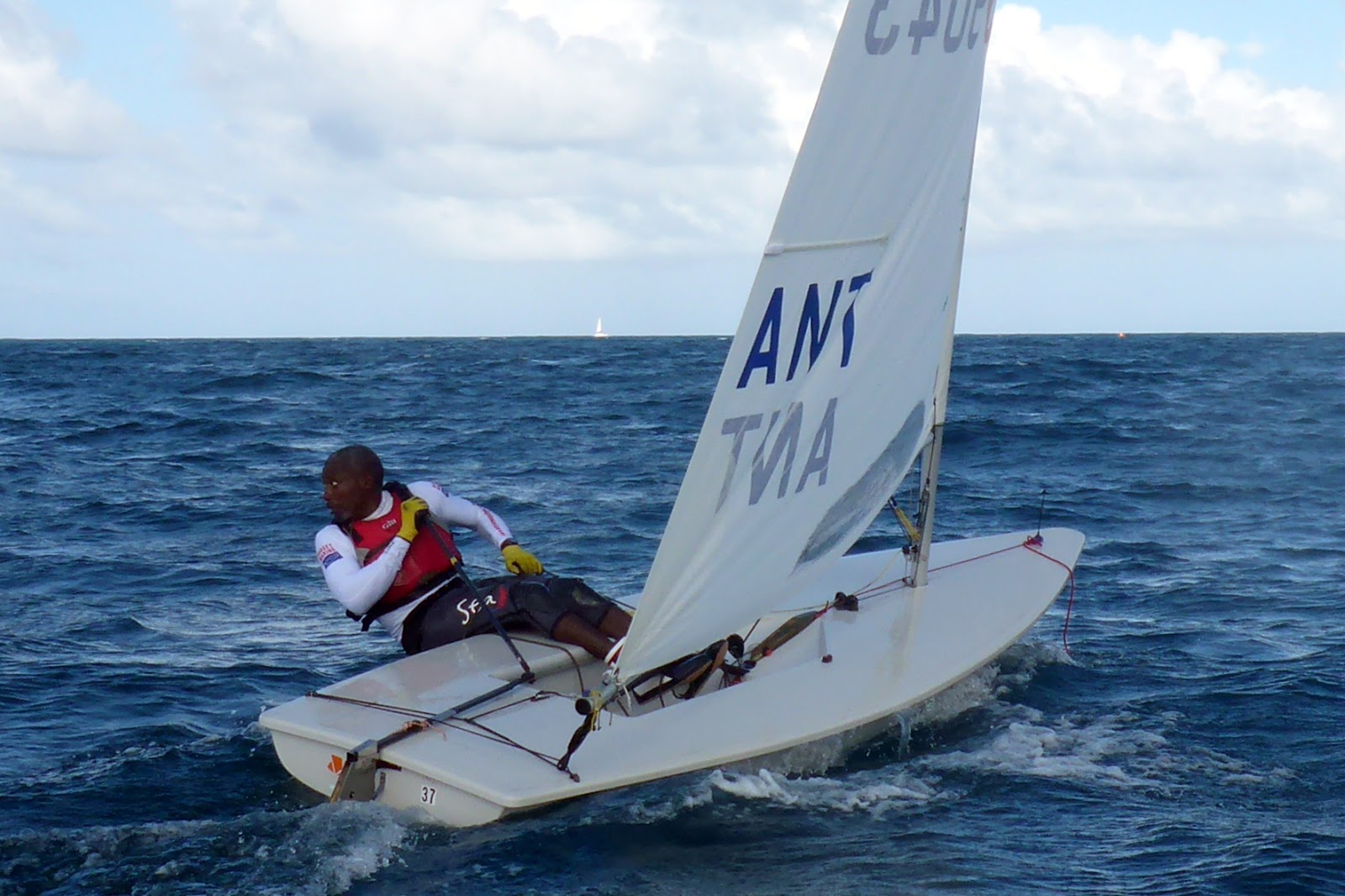
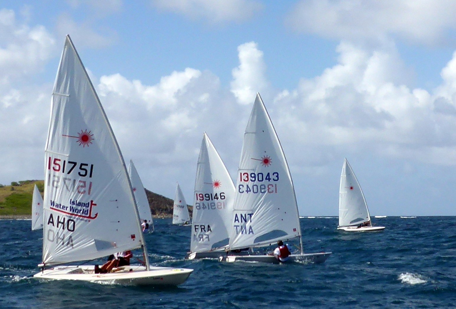
Karl James wins Caribbean Laser Open Championship 2017

Karl..  10 races  11 p   1-2-1 - (3)-(5)-1 - 1-3-1-1   (2 discards)


2 Benoit               15p       2-1-2            -  2-1-(3)         -  (4)-2-3-2
3 Jules Mitchell  18p       3-3-3            -  1-2-(4)         -  (3)-1-2-3
4 Rhone              38p       5-5-6            -  7-4-2             -  (7)-(7)-4-5
5 Jorge Abreu (Dom) 38p   6-6-5      -  5-(7)-(6)        -  2-4-6-4
6 Frits                 39p      (7)-4-4          -  4-6-5             -  5-6-5-(dnf) 
7 Cindy Bishas  57p      8-(dnf)-(11)  -  8-8-8             -  6-5-7
8 Olivier             62p      4-7-7             -  6-3-7             -  (dnf)-dns-dns-(dns)
9 Joris                 73p     (11)-8-9         -  9-11-9             -  10-9-8-(dns)
10 Arthur           74p      10-(11)-10     -  10-10-10        -  8-(11)-10-6
11 Bernard         74p       9-9-8            -  9-9-11             -  9-10-(dnf)-(dns)
12 Laurence       82p      13-10-12       - 11-(dns)-(dns)  - 11-8-9-8
13 Carson           93p      12-12-13      -  12-12-(dns)      - (dnf)-12-11-9


Plenty of wild life..  (mostly old)


 Regatta chief.. Rien

 
 Mark boy, dinghy and water supply..  Appie


Michelle (scoring, flags, price presentation etc) and Rien..  ready for starts
Organizer.. Frits Bus
 Olivier
 Ollie and Jorge
 Rhone
 Bernard
 Joris vd E


Orient beach...   Turquoise waters.        (Me just supporting role. marks etc)

BD boy Arthur
Watching foiling boats during 'lunch' brake.. AmCup


Jules Mitchell rounding top mark behind Karl


Cindy Bishas


 A
B
 Karl


Jorge Abreu

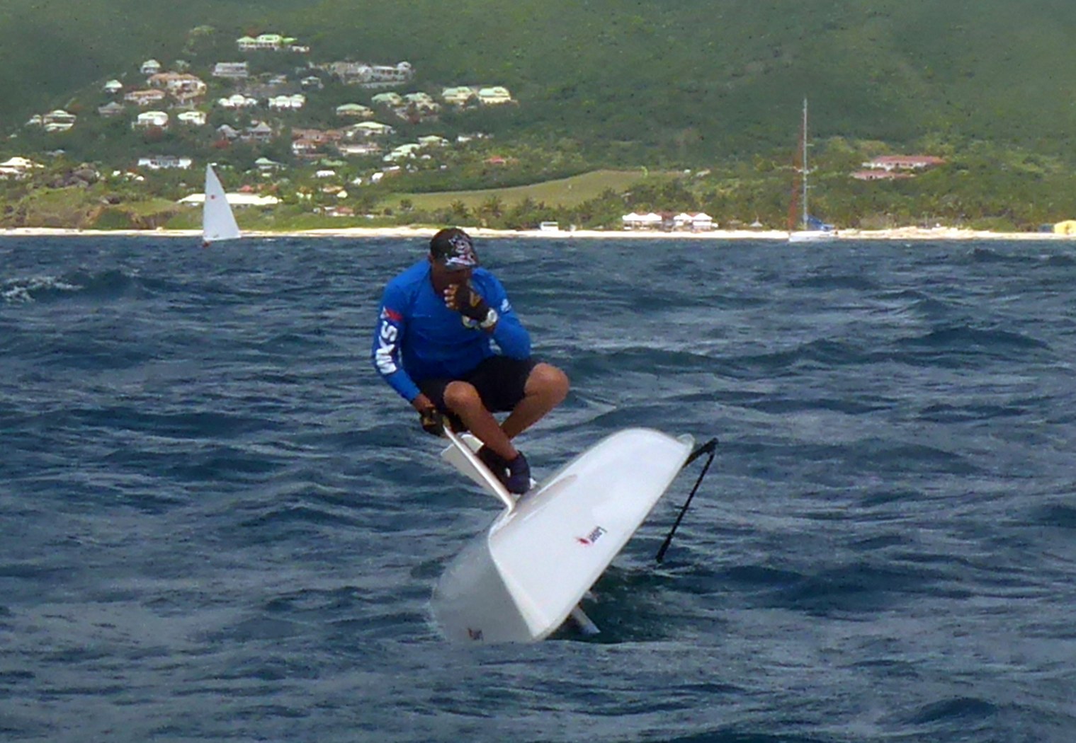
Bernard... boom....  boom won...


==========================
update Monday.. HE IS ALIVE!!!!!!!

 ===================================
A
 Laurance


 A

 Radial Podium.. 2 Carson 1 Cindy Bishas

 2nd Frits Bus + 1st Jorge Abreu (Dom)...  Masters podium

Overall podium   2 Benoit..   1  Karl..   3 Jules


Cheers